Locating a National Collection - Peripleo
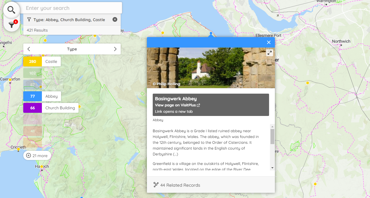
Peripleo is a browser-based map tool which enables the visualisation of information that has a geographical component. It was originally conceived and developed for a project which has now evolved into the Pelagios Network, and has been developed for Locating a National Collection (LaNC) by its original creator, Rainer Simon, at the Austrian Institute of Technology. You can visualise your own data with Peripleo and make this available on the web using Github Pages by following these instructions.

Main Features
- Three modes for visualisation of data points:
- Points
- Clusters
- Heatmap
- Data feature titles revealed by hovering the cursor over markers
- Feature details revealed by clicking on markers, including:
- Images (including IIIF)
- Descriptions
- List of links to related web resources
- Text search within datasets
- Filtering of data based on combination of text search and customisable data facets
- Rendering of:
- Linked Places Format (LPF)
- GeoJSON underlays (points, lines, and polygons)
- Custom basemap tiles
- Fullscreen mode (for embedded maps)
Examples
The datasets from LaNC project partners provided a diverse range of use cases that guided development and testing of the software. Since then the software has been used by projects at the Fitzwilliam Museum, Cambridge and the Swiss Institute of Bioinformatics, and is currently being taken forward in a new version by Yale University and the Kima project. Some of these examples can be seen here on this web site.
Deployment
To get Peripleo up-and-running with your own data, you can deploy it easily and at no cost by following the Setup Guide given in its public template repository. You can use Locolligo to convert your data into the required Linked Places Format.
If you want to add functionality or customise Peripleo in other ways, you can do so by copying the open source software from its GitHub repository.